Afternoon Storms to Continue Through Friday, Followed by Heatwave
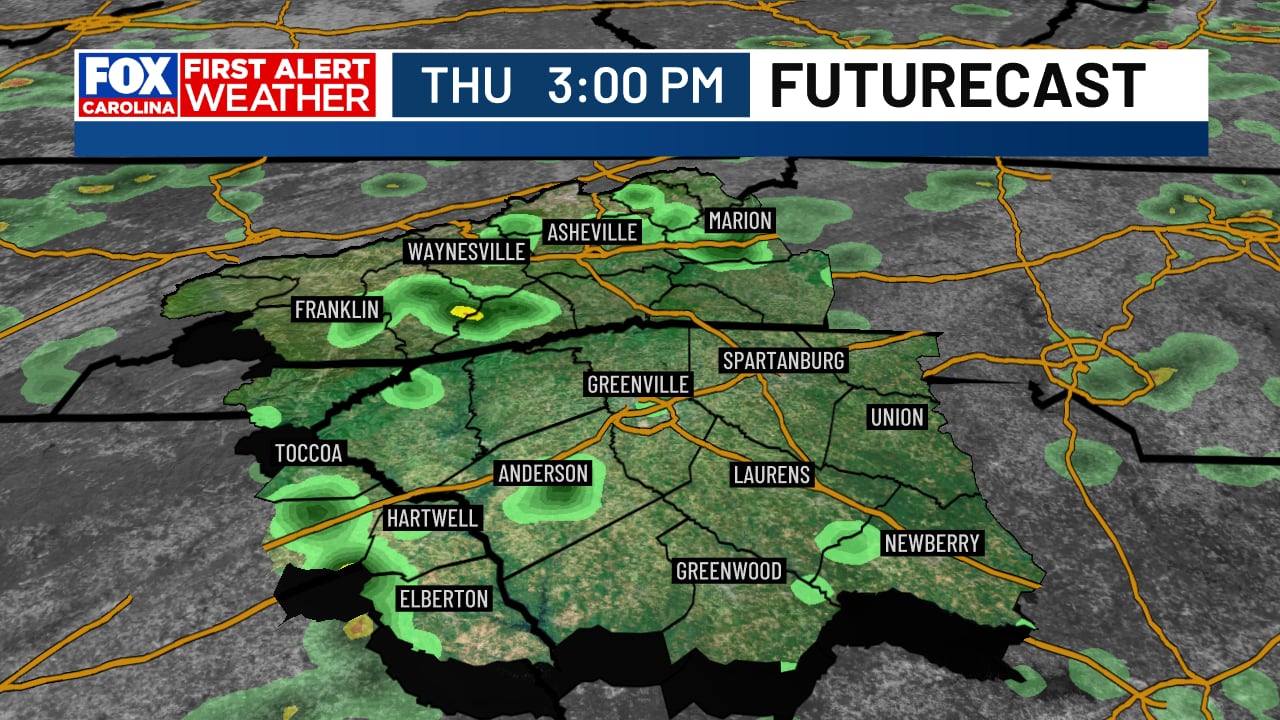
The Greenville-Spartanburg-Asheville-Anderson region can expect continuing afternoon storms through Friday, with potential for heavy rain and strong winds, especially on Friday. The weekend will see a drying trend with isolated storm chances, followed by a significant heatwave starting next week,…
 Greenville Spartanburg Asheville Anderson, SC, August 27, 2026 —
Residents across the Greenville-Spartanburg-Asheville-Anderson region should prepare for persistent afternoon storm activity extending through the end of the work week. The forecast indicates a continuation of these weather patterns up until Friday.
Throughout the coming days, there is a notable potential for heavy rainfall and strong winds. The likelihood and intensity of these conditions are particularly emphasized for Friday, suggesting that the day may see the most significant weather impacts of the week.
Looking ahead to the weekend, a shift in the weather is anticipated. A drying trend is expected to take hold, although isolated storm chances will persist. This transition marks a departure from the more consistent storm activity experienced earlier in the week.
The period immediately following the weekend is forecast to bring a significant heatwave. Beginning next week, temperatures are projected to climb, with highs expected to reach the mid-90s Fahrenheit. Furthermore, the combination of heat and humidity will likely push “feels like” temperatures to exceed 100°F, signaling a substantial change in weather conditions to warmer and more intense heat.
Story summarized from the original created by Chrissy Kohler on www.foxcarolina.com, see more information here.
Media gallery